Real estate
Show a property in context with aerial photos and video that reveal the home, surrounding land, access, and neighborhood.
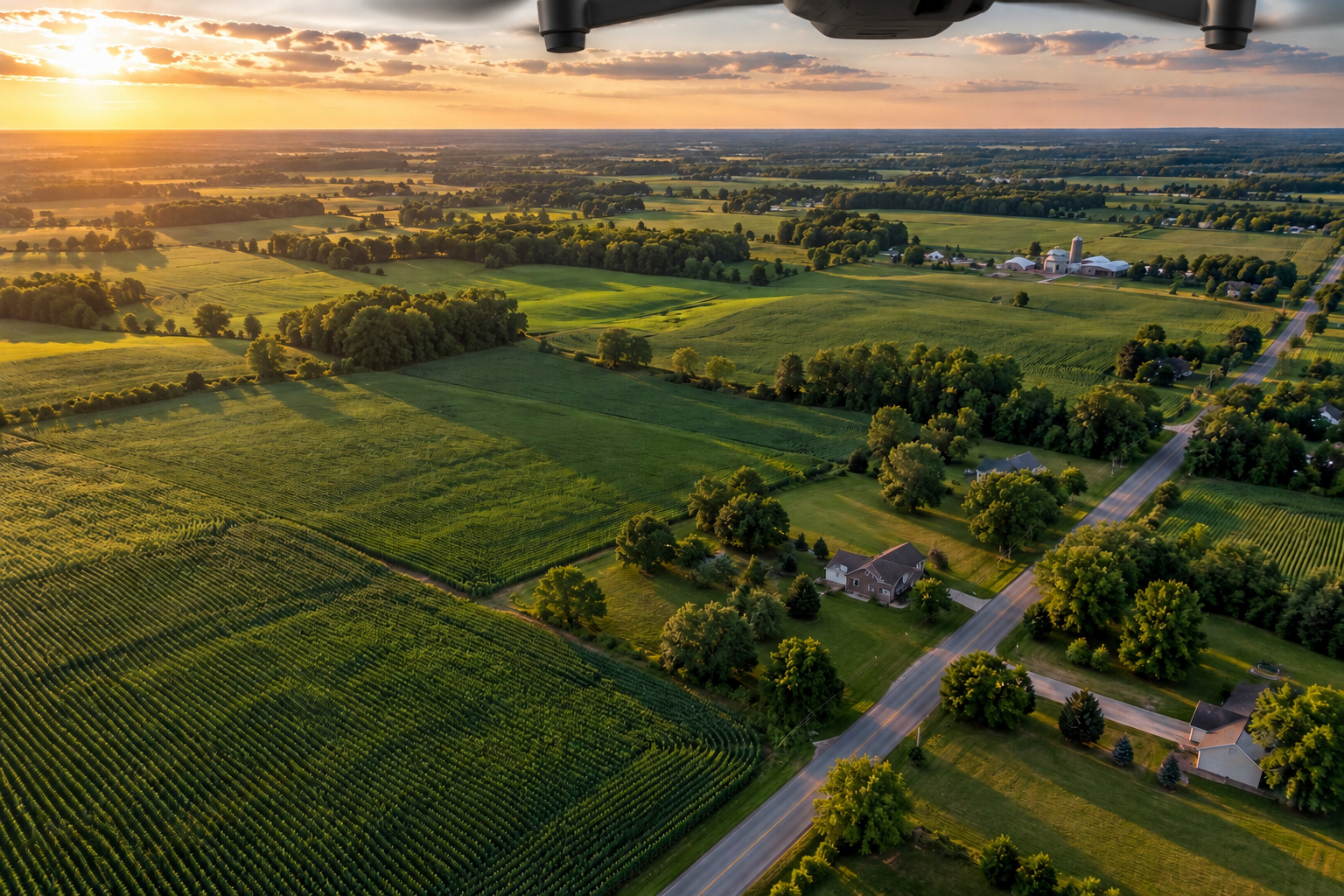
Aerial imagery for the properties, projects, and places that matter. Serving real estate, construction, mapping, agriculture, and infrastructure across Indiana.
Plan your projectStart with your goal. We’ll discuss the aerial views, site coverage, and deliverables that fit your project.
Show a property in context with aerial photos and video that reveal the home, surrounding land, access, and neighborhood.
Site mapping, progress tracking, volume measurements, and safety monitoring to help your team plan, document, and review the jobsite.
Discuss aerial site imagery, map outputs, and 3D project views for planning and documentation.
Accuracy requirements and intended use are reviewed before a project is scoped.
Get an overhead perspective on fields, drainage, access, and visible crop conditions. Coverage is tailored to the acreage and purpose.
Capture visual documentation of structures, roofs, and site assets to support maintenance planning and closer review.
Have a project that spans more than one service? Tell us what you need to see and how you plan to use the imagery.
Build your project briefUseful aerial work starts with understanding the question you want the imagery to answer.
Share your location, timeline, property or acreage, and the photos, video, or site views you need.
Review access, site conditions, capture requirements, scheduling, and the deliverables before work begins.
Plan the aerial coverage around your intended use, with weather and location conditions considered in scheduling.
Need assistance building a custom FPV drone? We can help with that, too.
FPV means first-person view: flying with a live view from the drone’s camera. Tell us what you want to build, the parts you already have, and where you need a hand. We’ll discuss the help that fits your project.
Starting your first FPV drone or working on a custom setup? Contact James Bragg to discuss your goals, budget, and build questions.
Call James · 317-756-1456Contact James Bragg to discuss your project and request a quote, or prepare a short project brief with the details below.
James Bragg
317-756-1456